Angel Lake, Humboldt-Toiyabe National Forest

Gallery (2)
Map

Map
Gallery
Facts and practical information
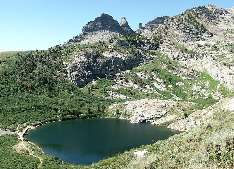
Angel Lake is a glacial tarn in the northern part of the East Humboldt Range, in central Elko County in the northeastern part of the state of Nevada. It is located at approximately 41°01.6′N 115°05.1′W, and at an elevation of 8378 feet. It has an area of approximately 13 acres, and a depth of up to 29 feet. A 12-mile scenic highway, State Route 231, climbs from Interstate 80's exit 351 in Wells to the eastern shore of the lake. ()
Maximum depth: 29 ftElevation: 8383 ft a.s.l.Coordinates: 41°1'34"N, 115°5'6"W
Day trips

