Birmingham Civil Rights District, Birmingham
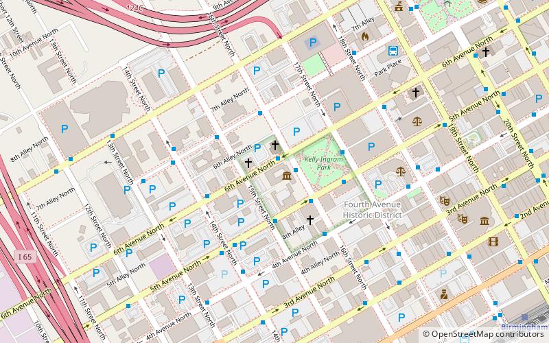
Map
Gallery
Facts and practical information
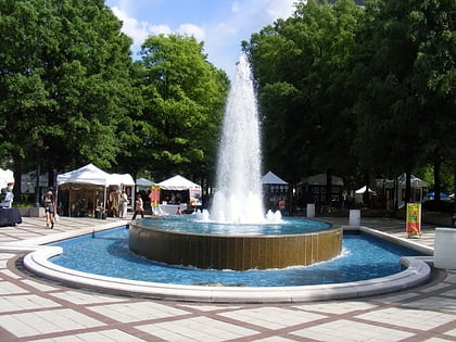
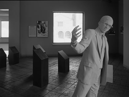
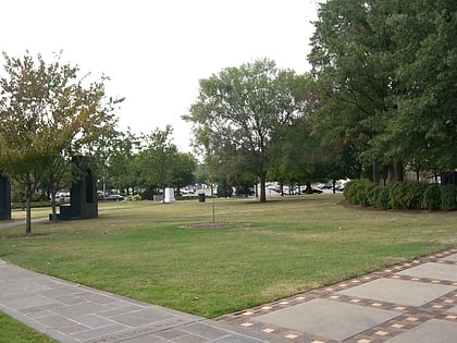
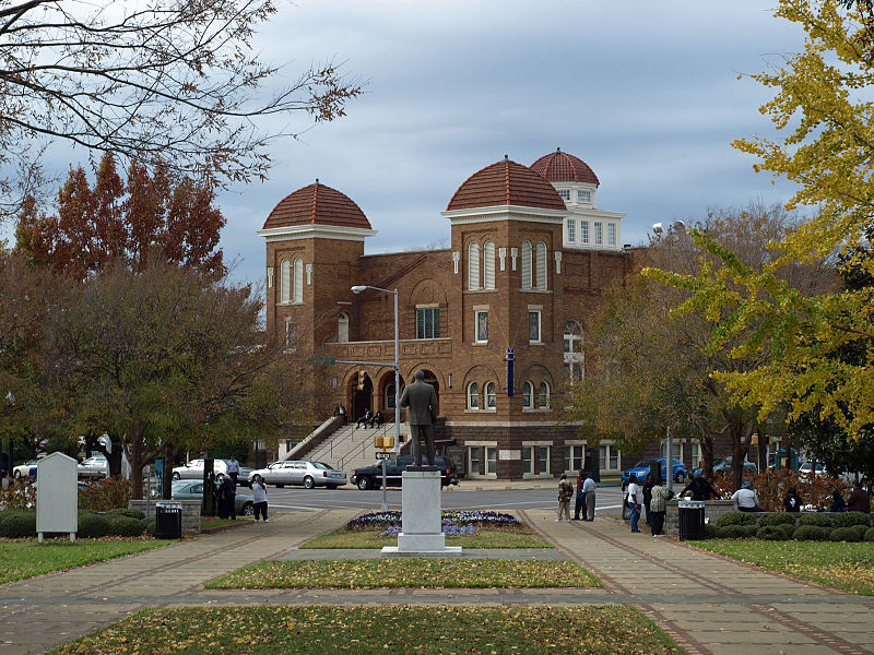
The Birmingham Civil Rights District is an area of downtown Birmingham, Alabama where several significant events in the Civil Rights Movement of the 1950s and 1960s took place. The district was designated by the City of Birmingham in 1992 and covers a six-block area. ()
Built: 1963 (63 years ago)Coordinates: 33°30'58"N, 86°48'54"W
Day trips
Birmingham Civil Rights District – popular in the area (distance from the attraction)
Nearby attractions include: Regions Field, Linn Park, Birmingham Museum of Art, 16th Street Baptist Church.
Frequently Asked Questions (FAQ)
Which popular attractions are close to Birmingham Civil Rights District?
Nearby attractions include Birmingham Civil Rights Institute, Birmingham (1 min walk), 16th Street Baptist Church, Birmingham (2 min walk), Birmingham Civil Rights National Monument, Birmingham (2 min walk), Kelly Ingram Park, Birmingham (3 min walk).
How to get to Birmingham Civil Rights District by public transport?
The nearest stations to Birmingham Civil Rights District:
Bus
Train
Bus
- NW Corner of 6th Av N & 16th St N • Lines: 6 (1 min walk)
- NE Corner of 6th Av N & 14th St N • Lines: 6 (4 min walk)
Train
- Birmingham (14 min walk)


