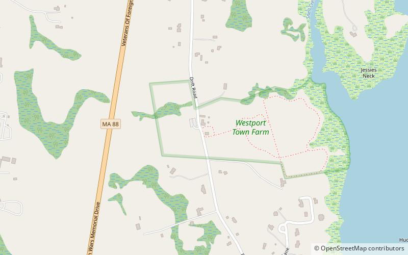
Westport Town Farm, Westport
Map

Map

Facts and practical information
Westport Town Farm is a 40-acre open space preserve and historic farm complex located in Westport, Massachusetts along the bracken East Branch of the Westport River. The property, owned by the town of Westport and managed by the land conservation non-profit organization The Trustees of Reservations through contract since 2007, was once the town's poor farm and local infirmary. ()
Established: 2007 (19 years ago)Elevation: 59 ft a.s.l.Coordinates: 41°34'49"N, 71°4'47"W
Day trips
Westport Town Farm – popular in the area (distance from the attraction)
Nearby attractions include: Cadman–White–Handy House, Dedee Shattuck Gallery, Art Stable Gallery Westport, Adamsville.
Frequently Asked Questions (FAQ)
Which popular attractions are close to Westport Town Farm?
Nearby attractions include Cadman–White–Handy House, Westport (16 min walk), Art Stable Gallery Westport, Westport (18 min walk), Dedee Shattuck Gallery, Westport (19 min walk).


