Trout Creek Pass, San Isabel National Forest
Map

Map

Facts and practical information
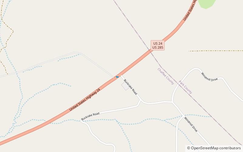
Trout Creek Pass, elevation 9,346 ft, is a mountain pass located in the Rocky Mountains of south-central Colorado in the United States. The pass sits atop the southern end of the Mosquito Range on the Park-Chaffee county line, between South Park and the headwaters of the Arkansas River to the west. It is traversed jointly by U.S. Highway 24 and US 285. It is passable by most motorized vehicles and is closed only during severe winter storms. The approach from the north is mild, while the south side has a moderate 5% grade. ()
Maximum elevation: 9487 ftCoordinates: 38°54'36"N, 105°58'30"W
Address
San Isabel National Forest
ContactAdd
Social media
Add
Day trips
Trout Creek Pass – popular in the area (distance from the attraction)
Nearby attractions include: South Park.

