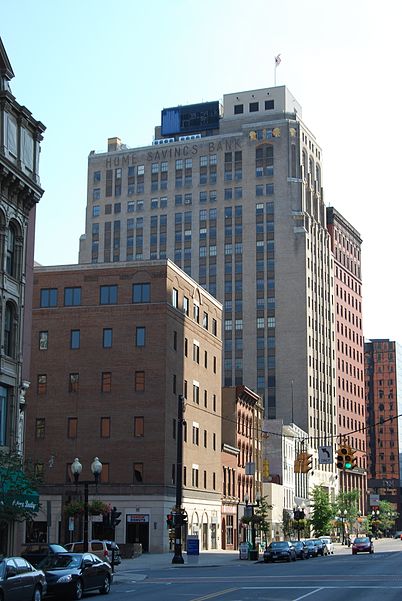
Downtown, Albany
Map
Gallery
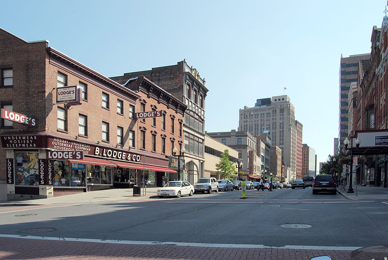
Facts and practical information
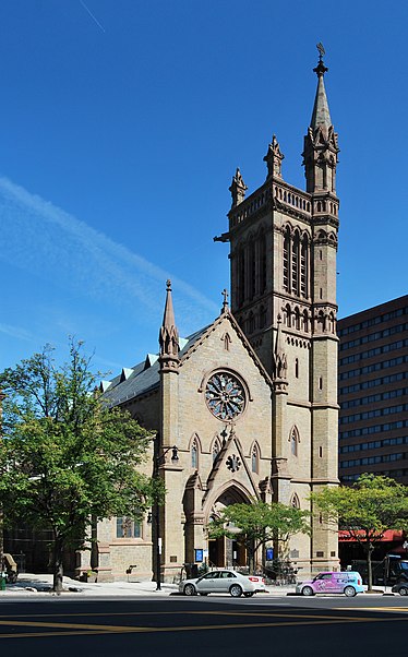
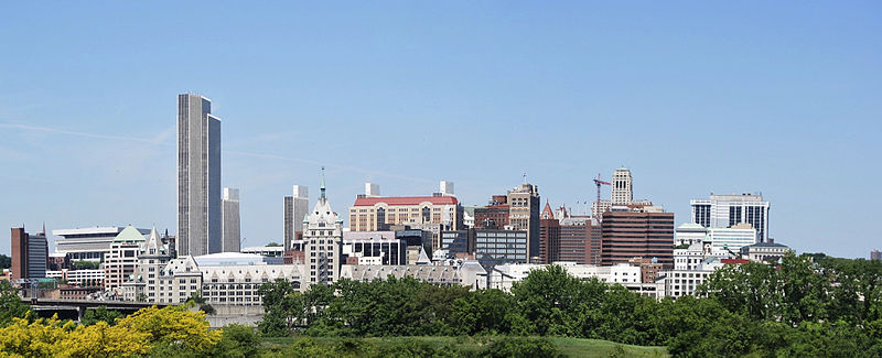
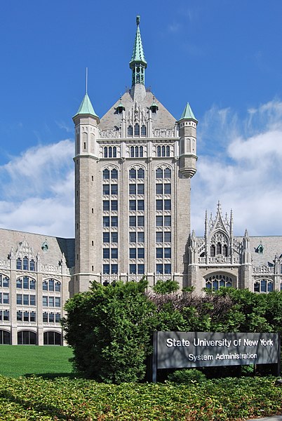
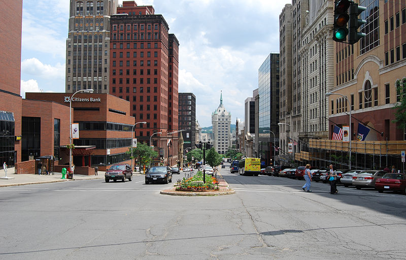
The Downtown Albany Historic District is a 19-block, 66-acre area of Albany, New York, United States, centered on the junction of State and North and South Pearl streets. It is the oldest settled area of the city, originally planned and settled in the 17th century, and the nucleus of its later development and expansion. In 1980 it was designated a historic district by the city and then listed on the National Register of Historic Places. ()
Coordinates: 42°39'0"N, 73°45'7"W
Address
Downtown AlbanyAlbany
ContactAdd
Social media
Add
Day trips
Downtown – popular in the area (distance from the attraction)
Nearby attractions include: New York State Capitol, Times Union Center, Statue of Philip Schuyler, The Egg Building.
Frequently Asked Questions (FAQ)
Which popular attractions are close to Downtown?
Nearby attractions include First Trust Company Building, Albany (2 min walk), Home Savings Bank Building, Albany (3 min walk), YMCA Building, Albany (3 min walk), Old Post Office, Albany (3 min walk).
How to get to Downtown by public transport?
The nearest stations to Downtown:
Bus
Train
Bus
- State St & S. Pearl St - S. Pearl Station • Lines: 1, 10, 12, 13, 18, 182, 214, 22, 224, 233, 520, 522, 530, 531, 540, 719, 734, 737, 763, 905 (2 min walk)
- State St & Lodge St - S. Pearl Station • Lines: 905 (3 min walk)
Train
- Albany-Rensselaer (21 min walk)


