Edward F. Ricketts State Marine Conservation Area, Monterey
Map
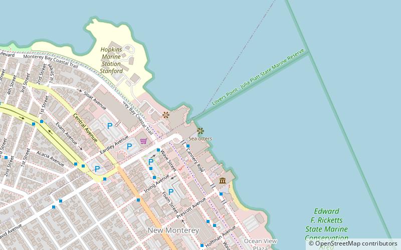
Map

Facts and practical information
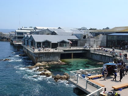
Edward F. Ricketts State Marine Conservation Area is one of four small marine protected areas located near the cities of Monterey and Pacific Grove, at the southern end of Monterey Bay on California’s central coast. The four areas together encompass 2.96 square miles. Within SMCAs fishing and take of all living marine resources is prohibited except the recreational take of finfish by hook-and-line and the commercial take of giant and bull kelp under certain conditions. ()
Coordinates: 36°37'6"N, 121°54'4"W
Address
Monterey
ContactAdd
Social media
Add
Day trips
Edward F. Ricketts State Marine Conservation Area – popular in the area (distance from the attraction)
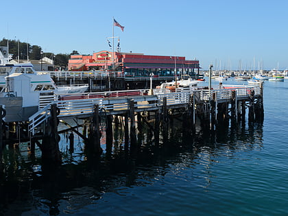
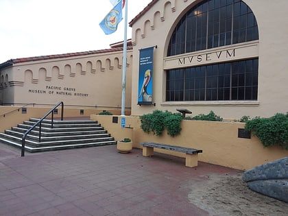
Nearby attractions include: Monterey Bay Aquarium, Museum of Monterey, Fisherman's Wharf, Monterey Bay Whale Watch.
Frequently Asked Questions (FAQ)
Which popular attractions are close to Edward F. Ricketts State Marine Conservation Area?
Nearby attractions include Monterey Bay Aquarium, Monterey (1 min walk), Monterey Mirror Maze, Monterey (3 min walk), Pacific Biological Laboratories, Monterey (3 min walk), Cannery Row, Monterey (4 min walk).
How to get to Edward F. Ricketts State Marine Conservation Area by public transport?
The nearest stations to Edward F. Ricketts State Marine Conservation Area:
Bus
Bus
- Monterey Bay Aquarium & Irving • Lines: 1, A Scs (4 min walk)

