Roland Park, Baltimore
Map

Gallery

Facts and practical information
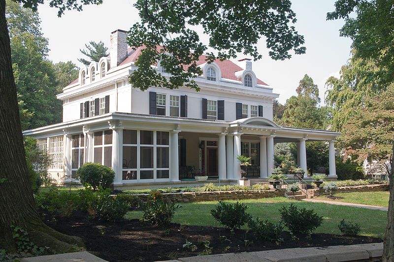
Roland Park is a community located in Baltimore, Maryland. It was developed between 1890 and 1920 as an upper-class streetcar suburb. The early phases of the neighborhood were designed by Edward Bouton and Frederick Law Olmsted, Jr. ()
Built: 1890 (136 years ago)Coordinates: 39°21'6"N, 76°38'6"W
Address
Northern Baltimore (Roland Park)Baltimore
ContactAdd
Social media
Add
Day trips
Roland Park – popular in the area (distance from the attraction)
Nearby attractions include: The Rotunda, Sherwood Gardens, Cylburn Arboretum, First Church of Christ.
Frequently Asked Questions (FAQ)
Which popular attractions are close to Roland Park?
Nearby attractions include Wyndhurst, Baltimore (13 min walk), Village of Cross Keys, Baltimore (15 min walk), Cathedral of Mary Our Queen, Baltimore (18 min walk), Loyola-Notre Dame, Baltimore (20 min walk).
How to get to Roland Park by public transport?
The nearest stations to Roland Park:
Bus
Light rail
Bus
- Roland Avenue & Upland Road Southbound • Lines: 95 (3 min walk)
Light rail
- Cold Spring Lane • Lines: Lr (23 min walk)
- Mount Washington • Lines: Lr (38 min walk)


