Old Town Chinatown, Portland
Map

Map

Facts and practical information
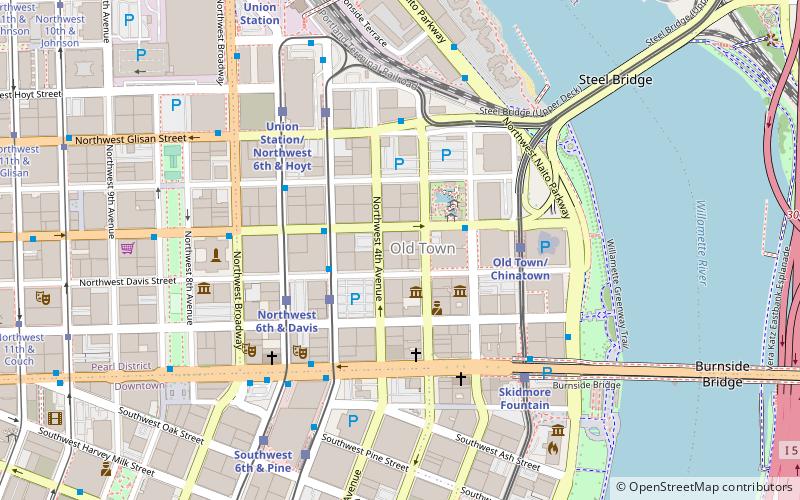
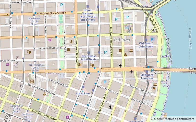
Old Town Chinatown is the official Chinatown of the Northwest section of Portland, Oregon. The Willamette River forms its eastern boundary, separating it from the Lloyd District and the Kerns and Buckman neighborhoods. It includes the Portland Skidmore/Old Town Historic District and the Portland New Chinatown/Japantown Historic District, which are listed on the National Register of Historic Places. It has been referred to as the "skid row" of Portland. ()
Coordinates: 45°31'30"N, 122°40'26"W
Day trips
Old Town Chinatown – popular in the area (distance from the attraction)
Nearby attractions include: Dante's, Stag PDX, CC Slaughters, Barbarella.
Frequently Asked Questions (FAQ)
Which popular attractions are close to Old Town Chinatown?
Nearby attractions include Portland New Chinatown/Japantown Historic District, Portland (1 min walk), Darcelle XV Showplace, Portland (2 min walk), Portland Chinatown Museum, Portland (2 min walk), Lan Su Chinese Garden, Portland (2 min walk).
How to get to Old Town Chinatown by public transport?
The nearest stations to Old Town Chinatown:
Bus
Light rail
Train
Tram
Bus
- Northwest Everett & 2nd • Lines: 16, 35, 4, 44, 77, 8 (2 min walk)
- Northwest 5th & Davis • Lines: 17, 2, 35, 4, 44, 8, 9 (2 min walk)
Light rail
- Northwest 5th & Couch • Lines: Green, Orange (3 min walk)
- Old Town/Chinatown • Lines: Blue, Red (4 min walk)
Train
- Portland Union Station (9 min walk)
Tram
- Northwest 10th & Couch • Lines: A, Ns (10 min walk)
- Northwest 11th & Couch • Lines: B, Ns (11 min walk)


