Rabbit Ears Range, Medicine Bow–Routt National Forest
Map

Map

Facts and practical information
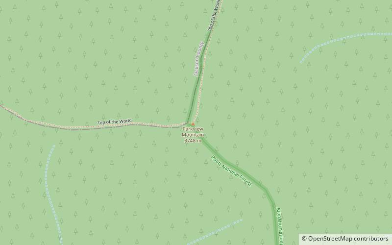
The Rabbit Ears Range is a mountain range of the Rocky Mountains in north-central Colorado in the United States. The range stretches east–west along the continental divide, forming the border between Grand and Jackson counties, and separating Middle Park from North Park. ()
Maximum elevation: 12301 ftCoordinates: 40°19'49"N, 106°8'10"W
Address
Medicine Bow–Routt National Forest
ContactAdd
Social media
Add
Day trips
Rabbit Ears Range – popular in the area (distance from the attraction)
Nearby attractions include: Parkview Mountain, Willow Creek Pass.


