Little Lava Lake, Deschutes National Forest
Map
Map

Facts and practical information
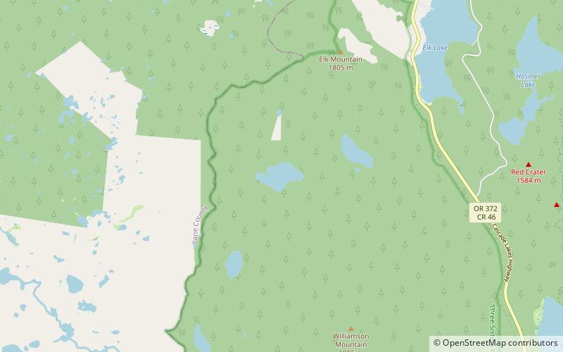
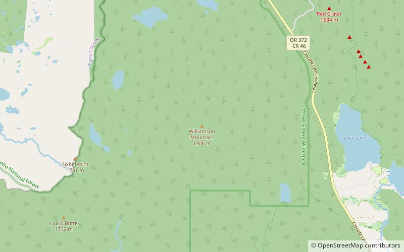
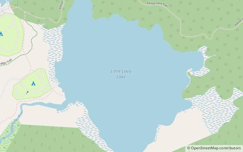
Little Lava Lake lies in the Cascade Range about 26 miles west-southwest of Bend in the U.S. state of Oregon. A close neighbor of Lava Lake, from which it is separated by solidified lava, Little Lava Lake is at an elevation of 4,744 feet in the Deschutes National Forest. Generally considered the source of the Deschutes River, the lake covers 138 acres to an average depth of 8 feet. ()
Maximum depth: 20 ftElevation: 4741 ft a.s.l.Coordinates: 43°54'40"N, 121°45'25"W
Address
Deschutes National Forest
ContactAdd
Social media
Add
Day trips
Little Lava Lake – popular in the area (distance from the attraction)
Nearby attractions include: Hosmer Lake, Elk Lake, Cultus Lake, Lava Lake.


