Enfield–Suffield Veterans Bridge, Suffield
Map

Map

Facts and practical information
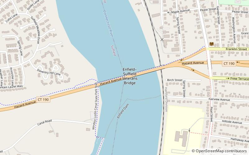
The Enfield–Suffield Veterans Bridge, commonly known in either town as the Enfield Bridge or Suffield Bridge, is the main traffic crossing that connects the towns of Enfield and Suffield, Connecticut over the Connecticut River. It carries Route 190 as well as the Windsor Locks Canal State Park Trail across the river. ()
Opened: 1966 (60 years ago)Coordinates: 41°59'23"N, 72°36'13"W
Day trips
Enfield–Suffield Veterans Bridge – popular in the area (distance from the attraction)
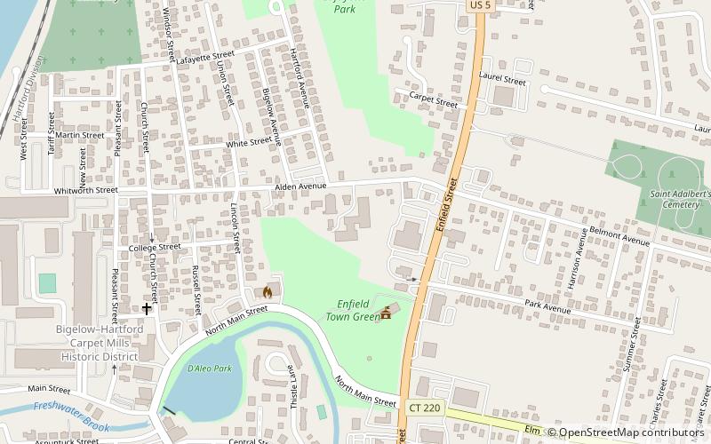
Nearby attractions include: Enfield Square, St. Adalbert Parish, Enfield Town Meetinghouse, Bigelow-Hartford Carpet Mills Historic District.
Frequently Asked Questions (FAQ)
Which popular attractions are close to Enfield–Suffield Veterans Bridge?
Nearby attractions include Thompsonville, Enfield (11 min walk), Homes in Enfield, Enfield (18 min walk), Bigelow-Hartford Carpet Mills Historic District, Enfield (18 min walk).


