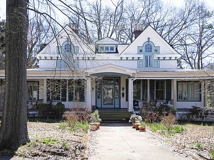
Reid Street–North Confederate Avenue Area Historic District, Rock Hill
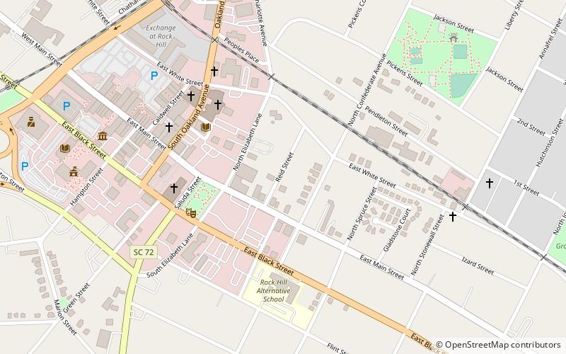

Facts and practical information
Reid Street–North Confederate Avenue Area Historic District is a national historic district located at Rock Hill, South Carolina. It encompasses 22 contributing buildings in a middle-class residential section of Rock Hill. The district developed between about 1839 and 1935. Architectural styles represented include Victorian, Classical Revival, Queen Anne, and Bungalow. Notable buildings include the Steed House, Bynum House, Jenkins House, and Gross-Brock House, along with the separately listed White House. ()
East TownRock Hill
Reid Street–North Confederate Avenue Area Historic District – popular in the area (distance from the attraction)
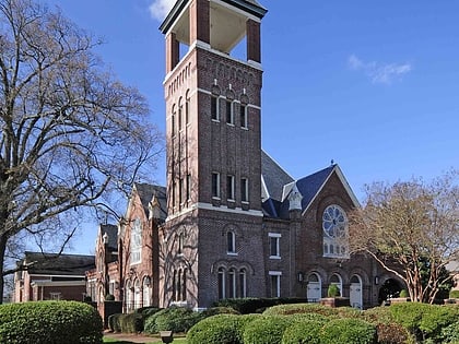
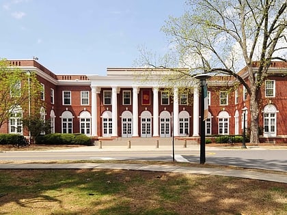
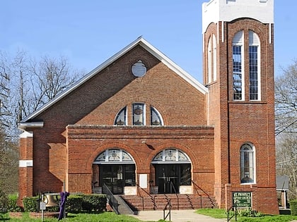
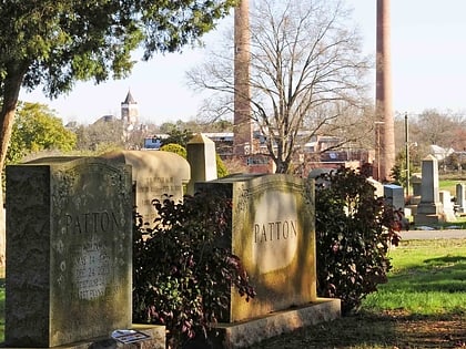
Nearby attractions include: White House, Rock Hill Downtown Historic District, First Presbyterian Church, Tillman Hall.


