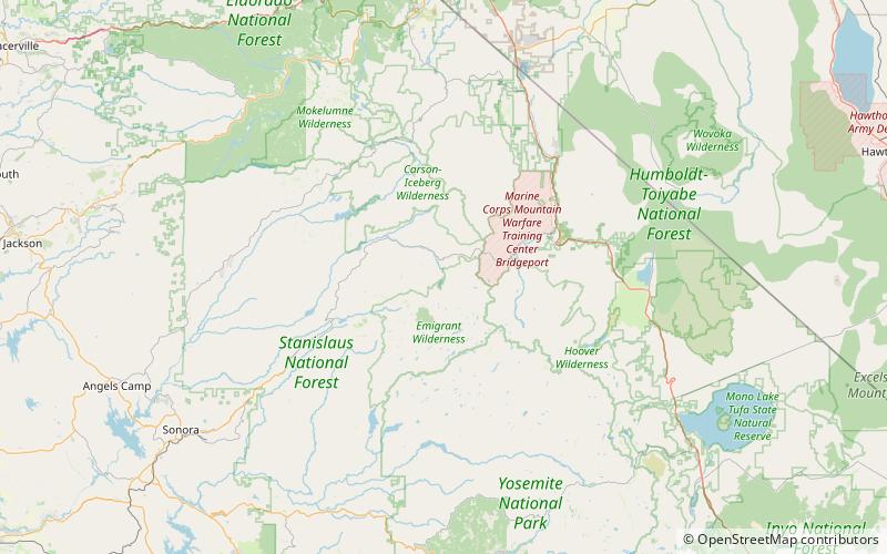
Relief Dam, Stanislaus National Forest
Map

Map

Facts and practical information
Relief Dam is a rockfill dam on Summit Creek, a tributary of the Middle Fork Stanislaus River, in Tuolumne County, California. The dam is part of the Spring Gap-Stanislaus Hydroelectric Project, and is owned and operated by Pacific Gas and Electric. ()
Coordinates: 38°16'52"N, 119°43'59"W
Address
Stanislaus National Forest
ContactAdd
Social media
Add
Day trips
Relief Dam – popular in the area (distance from the attraction)
Nearby attractions include: Bennett Juniper.

