Grist Mill Covered Bridge, Jeffersonville
Map

Map

Facts and practical information
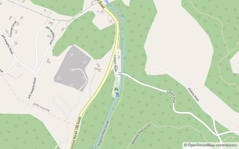
The Grist Mill Covered Bridge, also known as the Scott Covered Bridge, the Bryant Covered Bridge, and the Canyon Covered Bridge, is a covered bridge that carries Canyon Road across the Brewster River, off Vermont Route 108 in Cambridge, Vermont. Built in the 19th century, it is one of a small number of surviving Burr arch truss bridges in the state, and is one of three left in Cambridge. It was listed on the National Register of Historic Places in 1974. ()
Length: 85 ftWidth: 14 ftCoordinates: 44°38'12"N, 72°49'31"W
Day trips
Grist Mill Covered Bridge – popular in the area (distance from the attraction)
Nearby attractions include: Cambridge Meetinghouse, Jeffersonville Historic District, Bryan Memorial Gallery, Visions of Vermont Fine Art Galleries.
Frequently Asked Questions (FAQ)
Which popular attractions are close to Grist Mill Covered Bridge?
Nearby attractions include Cambridge Meetinghouse, Jeffersonville (15 min walk), Visions of Vermont Fine Art Galleries, Jeffersonville (16 min walk), Jeffersonville Historic District, Jeffersonville (16 min walk), Varnum Memorial Library, Jeffersonville (18 min walk).


