Glorieta Pass, Santa Fe National Forest

Gallery (1)
Map
Map
Facts and practical information
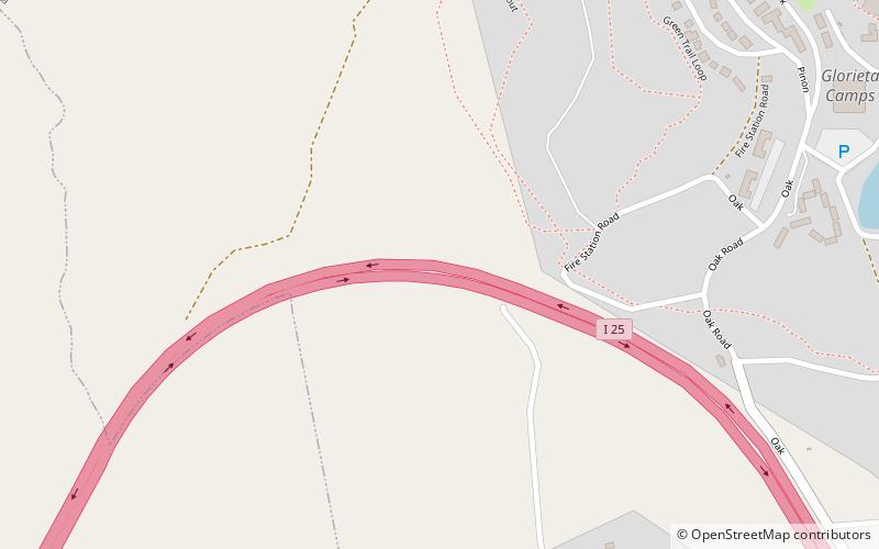
Glorieta Pass is a mountain pass in the Sangre de Cristo Mountains of northern New Mexico. The pass is at a strategic location near at the southern end of the Sangre de Cristos in east central Santa Fe County southeast of the city of Santa Fe. ()
Maximum elevation: 7500 ftCoordinates: 35°35'29"N, 105°46'41"W
Address
Santa Fe National Forest
ContactAdd
Social media
Add