Pinckneyville, Sumter National Forest

Gallery (1)
Map
Map
Facts and practical information
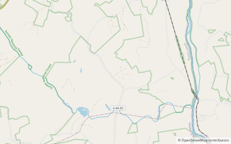
Pinckneyville is a historic frontier settlement site located near Union, Union County, South Carolina. Pinckneyville was established on February 19, 1791, by the General Assembly of South Carolina Act #1491 along with the Washington district, and is one of the earliest settlements in the South Carolina backcountry. ()
Coordinates: 34°30'44"N, 81°28'10"W
Address
Sumter National Forest
ContactAdd
Social media
Add