Trenton–Morrisville Toll Bridge, Trenton
Map
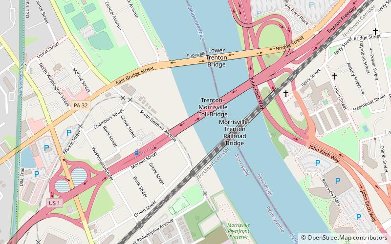
Map

Facts and practical information
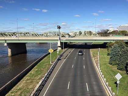
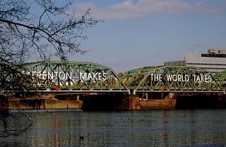
The Trenton–Morrisville Toll Bridge is one of three road bridges connecting Trenton, New Jersey with Morrisville, Pennsylvania. Opened on December 1, 1952, it carries U.S. Route 1 and is owned and operated by the Delaware River Joint Toll Bridge Commission. This bridge's toll plaza was originally configured to collect tolls from both the northbound and southbound travel lanes. Today, tolls are collected only from vehicles travelling southbound. ()
Opened: 1952 (74 years ago)Length: 1324 ftWidth: 62 ftCoordinates: 40°12'30"N, 74°46'9"W
Address
Trenton
ContactAdd
Social media
Add
Day trips
Trenton–Morrisville Toll Bridge – popular in the area (distance from the attraction)
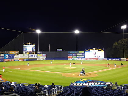
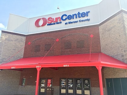
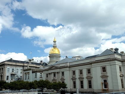
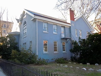
Nearby attractions include: Trenton Thunder Ballpark, Sun National Bank Center, New Jersey State House, William Trent House.
Frequently Asked Questions (FAQ)
Which popular attractions are close to Trenton–Morrisville Toll Bridge?
Nearby attractions include Morrisville–Trenton Railroad Bridge, Trenton (3 min walk), Lower Trenton Bridge, Trenton (5 min walk), William Trent House, Trenton (10 min walk), Summerseat, Morrisville (15 min walk).
How to get to Trenton–Morrisville Toll Bridge by public transport?
The nearest stations to Trenton–Morrisville Toll Bridge:
Light rail
Train
Light rail
- Hamilton Avenue • Lines: River Line (20 min walk)
- Cass Street • Lines: River Line (21 min walk)
Train
- Trenton (28 min walk)
