Davis Lake volcanic field, Deschutes National Forest
Map

Map

Facts and practical information
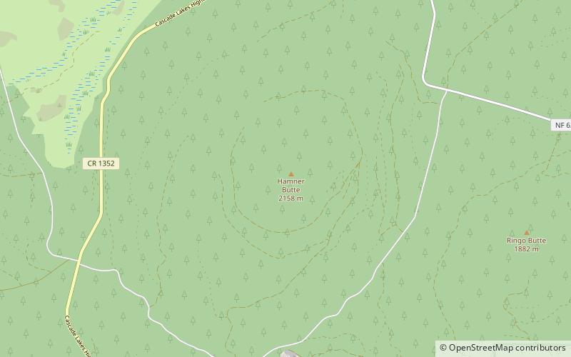
The Davis Lake volcanic field, is a volcanic field with a group of andesitic cinder cones, lava flows and basaltic andesite shield volcano. The field is located east of the Cascade Range of Oregon, United States. ()
Coordinates: 43°33'33"N, 121°48'47"W
Address
Deschutes National Forest
ContactAdd
Social media
Add
Day trips
Davis Lake volcanic field – popular in the area (distance from the attraction)
Nearby attractions include: Davis Lake.

