Rogers Park, Tampa
Map

Map

Facts and practical information
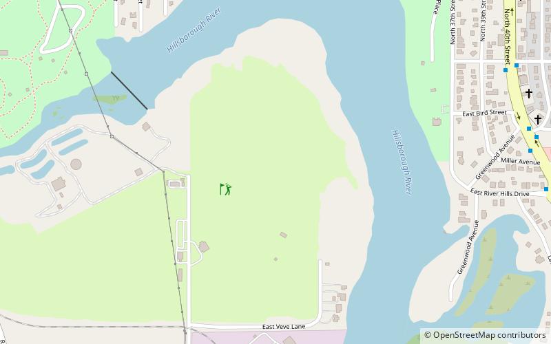
Rogers Park Golf Course is a historic public 18-hole golf course in Tampa, Florida. Land for the park was acquired by the City of Tampa in 1947 and was used for picnics and games by black residents during the era of racial segregation in the United States. Construction of the course was led by Willie Black and began in 1948 on part of the Rogers Park complex. It was completed in 1952. Rogers Park was the only course available to Tampa's black residents. ()
Coordinates: 28°1'20"N, 82°25'25"W
Address
Northeast Tampa (Rogers Park Golf Course - Blackwater Hammock)Tampa
ContactAdd
Social media
Add
Day trips
Rogers Park – popular in the area (distance from the attraction)
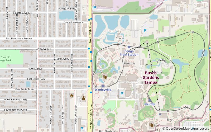
Nearby attractions include: Busch Gardens Tampa, SheiKra, Montu Roller Coaster, Falcon's Fury.
Frequently Asked Questions (FAQ)
Which popular attractions are close to Rogers Park?
Nearby attractions include Temple Crest, Tampa (20 min walk), Cheetah Hunt, Tampa (22 min walk), Iron Gwazi, Tampa (23 min walk).
How to get to Rogers Park by public transport?
The nearest stations to Rogers Park:
Bus
Train
Bus
- 40th Street @ Miller Avenue • Lines: 5 (13 min walk)
- 30th Street @ Yukon Street • Lines: 18, 9 (13 min walk)
Train
- Nairobi (24 min walk)
- Stanleyville (26 min walk)


