Fishers Gap, Shenandoah National Park
Map

Map

Facts and practical information
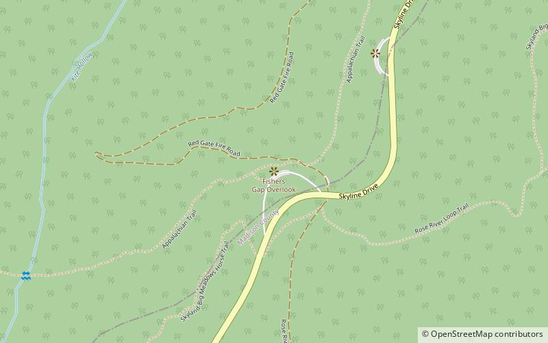
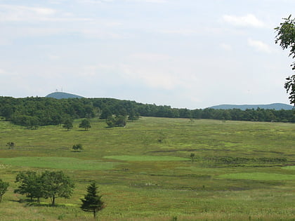
Fishers Gap is a wind gap of the Blue Ridge Mountains located on the border of Madison County and Page County in Virginia in the Shenandoah National Park. Both Skyline Drive and the Appalachian Trail pass across the gap. ()
Maximum elevation: 3064 ftCoordinates: 38°32'3"N, 78°25'21"W
Address
Shenandoah National Park
ContactAdd
Social media
Add
Day trips
Fishers Gap – popular in the area (distance from the attraction)
Nearby attractions include: Big Meadows Site, Big Meadows, Gentle Site, Cliff Kill Site.


