Midland City Forest, Midland
Map

Map

Facts and practical information
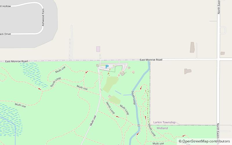
Midland City Forest (address: South Loop) is a place located in Midland (Michigan state) and belongs to the category of hiking trail, bike trail, relax in park.
It is situated at an altitude of 636 feet, and its geographical coordinates are 43°40'59"N latitude and 84°15'17"W longitude.
Among other places and attractions worth visiting in the area are: Midland Mall (shopping, 45 min walk), Midland County Educational Service Agency (neighbourhood, 95 min walk), Bradley House (museum, 99 min walk).
Elevation: 636 ft a.s.l.Coordinates: 43°40'59"N, 84°15'17"W
Day trips
Midland City Forest – popular in the area (distance from the attraction)
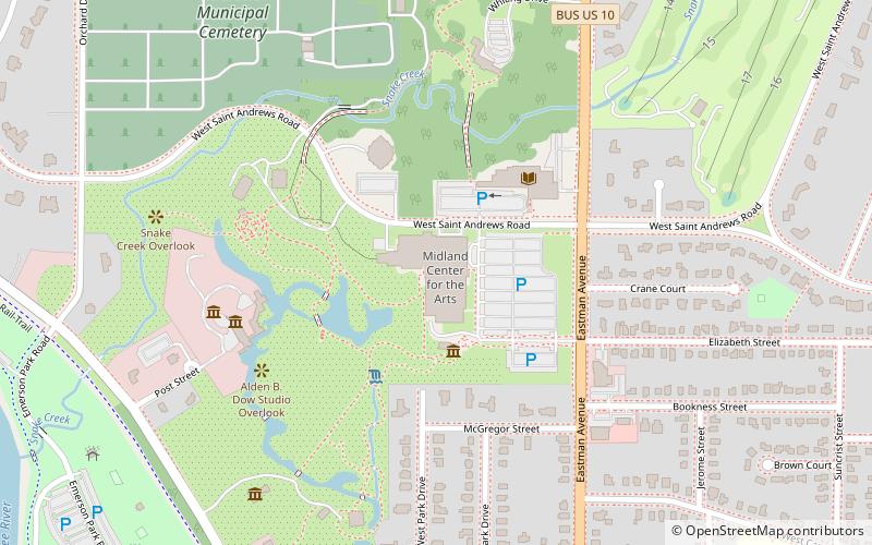
Nearby attractions include: Midland Mall, Dow Diamond, Alden Dow House and Studio, Midland Center for the Arts.
Frequently Asked Questions (FAQ)
When is Midland City Forest open?
Midland City Forest is open:
- Monday 8 am - 5 pm
- Tuesday 8 am - 5 pm
- Wednesday 8 am - 5 pm
- Thursday 8 am - 5 pm
- Friday 8 am - 5 pm
- Saturday closed
- Sunday closed


