Roper Lake State Park
Map

Map

Facts and practical information
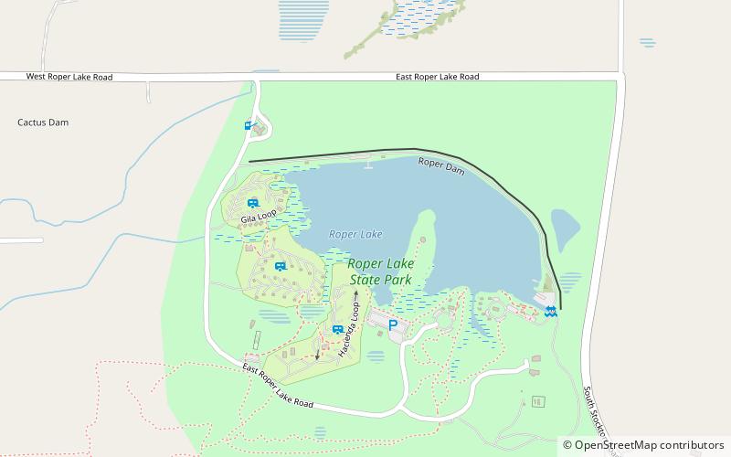
Roper Lake State Park is a state park of Arizona, surrounding 32-acre Roper Lake. The park is located off U.S. Route 191, 5 miles south of Safford, at the Gila River and Valley. ()
Established: 1972 (54 years ago)Elevation: 3120 ft a.s.l.Coordinates: 32°45'21"N, 109°42'18"W
Location
Arizona
ContactAdd
Social media
Add
Day trips
Roper Lake State Park – popular in the area (distance from the attraction)
Nearby attractions include: Safford City-Graham County Library, Point of Pines Sites, William Talley House.


