Boulder Crescent Place Historic District, Colorado Springs
Map

Map

Facts and practical information
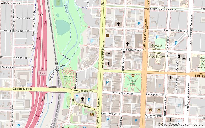
Boulder Crescent Place Historic District is a historic area in Colorado Springs, Colorado along West Boulder and Cascade Avenue near the intersection of the two streets. It is a National Register of Historic Places listing and is on the Colorado State Register of Historic Properties. ()
Elevation: 6024 ft a.s.l.Coordinates: 38°50'19"N, 104°49'30"W
Address
302 North Cascade AvenueCentral Colorado City (Downtown Colorado Springs)Colorado Springs
ContactAdd
Social media
Add
Day trips
Boulder Crescent Place Historic District – popular in the area (distance from the attraction)
Nearby attractions include: Alamo Square Park, Colorado Springs Fine Arts Center, Colorado Springs Pioneers Museum, Shove Memorial Chapel.
Frequently Asked Questions (FAQ)
Which popular attractions are close to Boulder Crescent Place Historic District?
Nearby attractions include First Christian Church, Colorado Springs (2 min walk), McAllister House, Colorado Springs (2 min walk), First Congregational Church, Colorado Springs (5 min walk), St. Mary's Cathedral, Colorado Springs (5 min walk).


