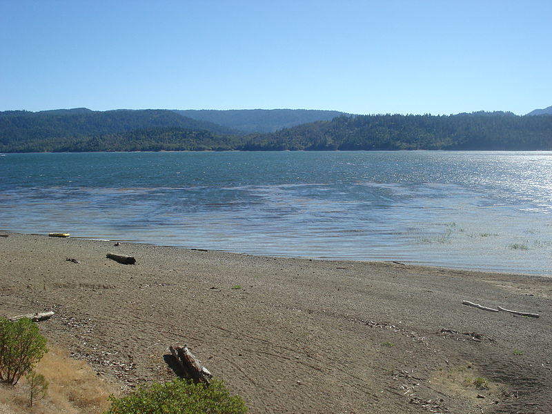
Lake Pillsbury, Mendocino National Forest
Map

Gallery

Facts and practical information
Lake Pillsbury is a lake in the Mendocino National Forest of Lake County, California, created from the Eel River and Hull Mountain watershed by Scott Dam. Elevation is 1,818 ft with 65 mi of shoreline and covering 2,003 acres. Activities in the Lake Pillsbury Recreation Area include powerboating, fishing, swimming, sailing, picnicking, hiking and hang gliding. There are two main access roads to the lake. At the north end of the lake is a small gravel airstrip. Over 400 homes including National Forest Recreational Residences ring the lake. ()
Elevation: 1818 ft a.s.l.Coordinates: 39°25'24"N, 122°56'49"W
Address
Mendocino National Forest
ContactAdd
Social media
Add
