Illinois Route 2, Rockford
Map
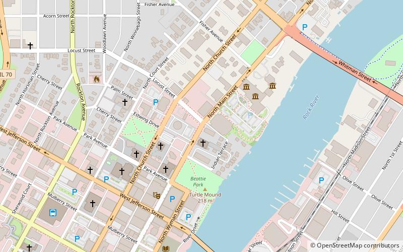
Map

Facts and practical information
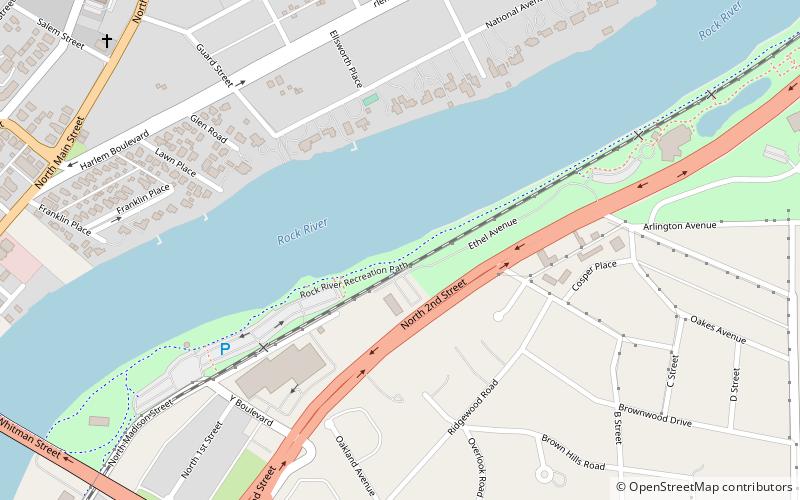
Illinois Route 2 is a north–south state road in northern Illinois. It currently starts at Illinois Route 40 in Sterling and ends at the Wisconsin state line in South Beloit, very near the intersection with U.S. Route 51, Illinois Route 75 and Illinois Route 251. Illinois 2 is 73.91 miles long. ()
Coordinates: 42°16'33"N, 89°5'28"W
Address
River District (Coronado Haskell)Rockford
ContactAdd
Social media
Add
Day trips
Illinois Route 2 – popular in the area (distance from the attraction)
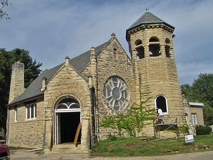
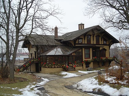
Nearby attractions include: BMO Harris Bank Center, Burpee Museum of Natural History, Haight Village Historic District, Cathedral of Saint Peter.
Frequently Asked Questions (FAQ)
Which popular attractions are close to Illinois Route 2?
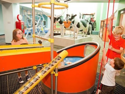
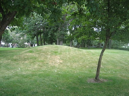
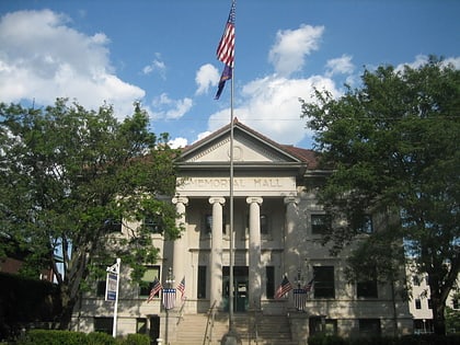
Nearby attractions include Discovery Center Museum, Rockford (3 min walk), Beattie Park Mound Group, Rockford (3 min walk), Rockford Elk's Lodge No. 64, Rockford (4 min walk), Rockford Woman's Club, Rockford (4 min walk).
How to get to Illinois Route 2 by public transport?
The nearest stations to Illinois Route 2:
Bus
Train
Bus
- RMTD Bus Terminal (10 min walk)
Train
- CN Rockford Depot (25 min walk)


