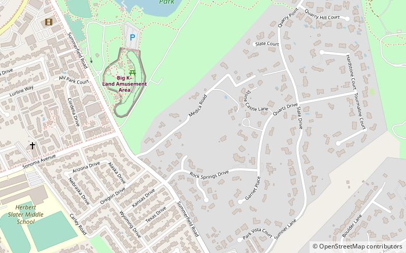
John Medica Gardens, Santa Rosa
Map
Facts and practical information
The John Medica Gardens are a collection of folk art stoneworks and gardens created by John Medica in Santa Rosa, California in the United States. The gardens are on the list of California Historical Landmarks. The garden is located on a private property. It took Medica 20 years to create the gardens. ()
Elevation: 266 ft a.s.l.Coordinates: 38°27'0"N, 122°39'54"W
Address
Santa Rosa
ContactAdd
Social media
Add
Getting there by public transportation
Public transportation stops near this location
- Bus
 Bus
Bus
- Calculate routeMontgomery Village Transit Hub 32 min walk
Day trips


Frequently Asked Questions (FAQ)
Which popular attractions are close to John Medica Gardens?
Nearby attractions include Lake Ralphine, Santa Rosa (10 min walk), Spring Lake Park, Santa Rosa (18 min walk), Santa Rosa Creek Reservoir, Santa Rosa (19 min walk), Luther Burbank Art & Garden Center, Santa Rosa (24 min walk).
How to get to John Medica Gardens by public transport?
The nearest stations to John Medica Gardens:
Bus
Bus
- Montgomery Village Transit Hub (32 min walk)