Boulevards in Omaha, Omaha
Map

Map

Facts and practical information
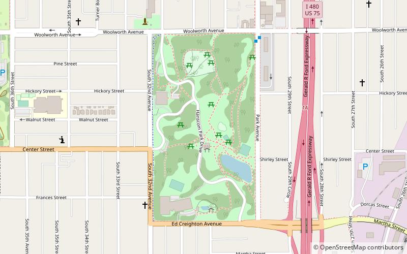
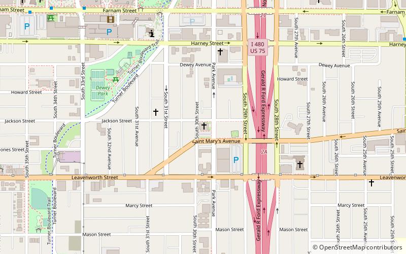
Boulevards in Omaha are part of a park and boulevard system originally designed in 1889 by Horace Cleveland. There are more than one hundred miles of boulevards throughout the city of Omaha, Nebraska today. ()
Coordinates: 41°14'32"N, 95°57'29"W
Address
Southeast Omaha (Ford Birthsite)Omaha
ContactAdd
Social media
Add
Day trips
Boulevards in Omaha – popular in the area (distance from the attraction)
Nearby attractions include: J. L. Brandeis and Sons Store Building, Gerald R. Ford Birthsite and Gardens, Orpheum Theatre, First Unitarian Church of Omaha.
Frequently Asked Questions (FAQ)
Which popular attractions are close to Boulevards in Omaha?
Nearby attractions include Hanscom Park, Omaha (5 min walk), Gerald R. Ford Birthsite and Gardens, Omaha (7 min walk), Field Club, Omaha (10 min walk), Normandie Apartments, Omaha (12 min walk).
How to get to Boulevards in Omaha by public transport?
The nearest stations to Boulevards in Omaha:
Bus
Bus
- 30th & Harrison • Lines: 24 (16 min walk)
- 24th & Leavenworth • Lines: 24 (23 min walk)


