Riverbend Park, Bend
Map
Facts and practical information
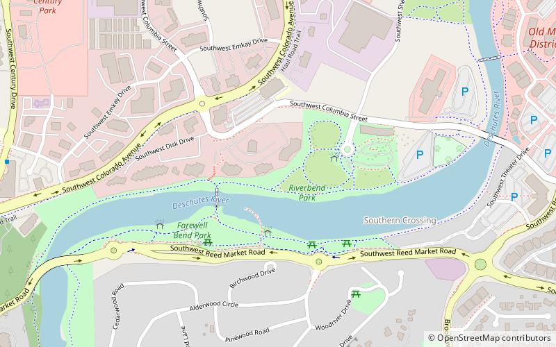
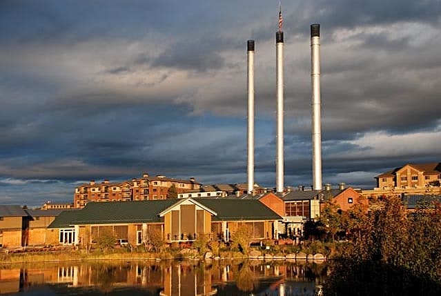
Riverbend Park is a 13.1-acre along the Deschutes River, near Bend, Oregon's Old Mill District, in the United States. Yakaya is installed in the park. ()
Elevation: 3625 ft a.s.l.Coordinates: 44°2'33"N, 121°19'23"W
Address
799 SW Columbia StSouthern CrossingBend 97702-3218
Contact
+1 541-389-7275
Social media
Add
Getting there by public transportation
Public transportation stops near this location
- Bus
 Bus
Bus
- Calculate routeBend/Lapine School District 24 min walk
- Calculate routeHawthorne Station 40 min walk
Day trips


Frequently Asked Questions (FAQ)
Which popular attractions are close to Riverbend Park?
Nearby attractions include Farewell Bend Park, Bend (9 min walk), Hayden Homes Amphitheater, Bend (10 min walk), Old Mill District, Bend (12 min walk), McKay Park, Bend (14 min walk).
How to get to Riverbend Park by public transport?
The nearest stations to Riverbend Park:
Bus
Bus
- Bend/Lapine School District (24 min walk)
- Hawthorne Station (40 min walk)