Platoro Dam, Rio Grande National Forest
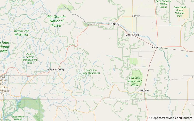
Map

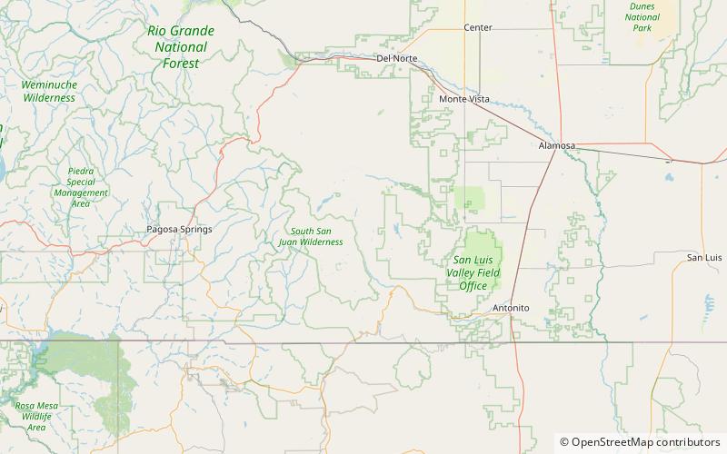
Map

Facts and practical information
Platoro Dam is a dam in Conejos County, Colorado. ()
Opened: 1951 (75 years ago)Height: 165 ftReservoir area: 1.5 mi²Coordinates: 37°21'4"N, 106°32'49"W
Address
Rio Grande National Forest
ContactAdd
Social media
Add
Day trips
Platoro Dam – popular in the area (distance from the attraction)
Nearby attractions include: Conejos Peak, Acascosa Lake.


