Turn Point Light, Stuart Island
Map
![Turn Point Light location map](https://tzmedia.b-cdn.net/media/images/static-maps/us/48_6888_-123_237.jpg)
Map
![Turn Point Light location map](https://tzmedia.b-cdn.net/media/images/static-maps/us/48_6888_-123_237.jpg)
Facts and practical information
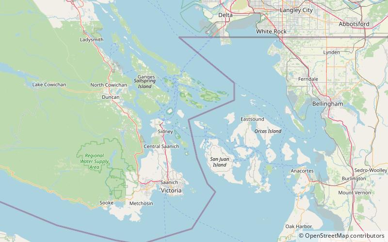
The Turn Point Light is an active aid to navigation overlooking the Haro Straits from the western tip of Stuart Island, San Juan County, off the coast of Washington state in the northwest of the United States. ()
Coordinates: 48°41'20"N, 123°14'13"W
Day trips
Turn Point Light – popular in the area (distance from the attraction)
Nearby attractions include: Satellite Island, Posey Island State Park, Johns Island, Stuart Island State Park.