McAfee Peak, Humboldt-Toiyabe National Forest
Map

Map

Facts and practical information
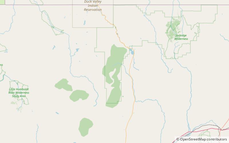
McAfee Peak is the highest mountain in the Independence Mountains of northern Elko County, Nevada, United States. It ranks twenty-first among the most topographically prominent peaks in the state. The peak is located within the Mountain City Ranger District of the Humboldt-Toiyabe National Forest. ()
Elevation: 10442 ftProminence: 4158 ftCoordinates: 41°31'18"N, 115°58'26"W
Address
Humboldt-Toiyabe National Forest
ContactAdd
Social media
Add
Day trips
McAfee Peak – popular in the area (distance from the attraction)
Nearby attractions include: Independence Mountains.

