Plummer Peak, Mount Rainier National Park
Map

Gallery

Facts and practical information
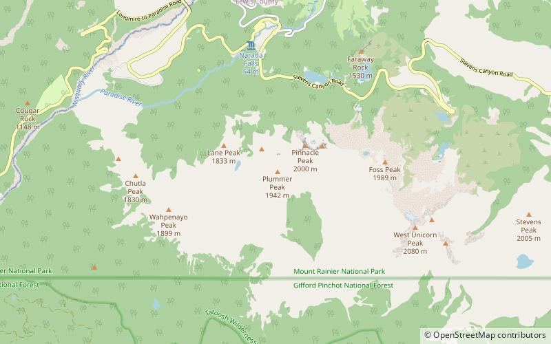
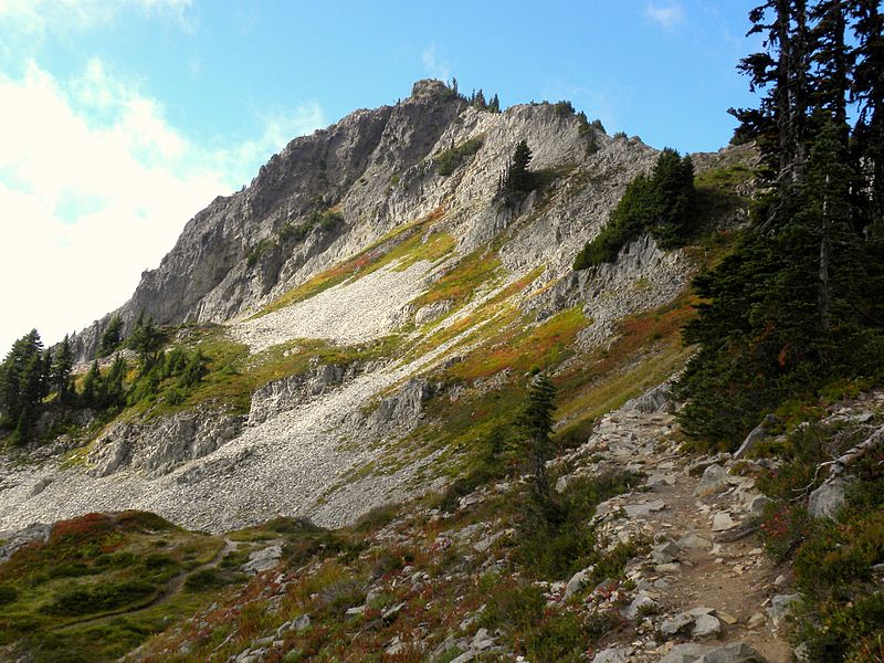
Plummer Peak is a summit located in Mount Rainier National Park in Lewis County, Washington. With an elevation of 6,374 feet it is the seventh highest peak in the Tatoosh Range. It was named for Fred G. Plummer, a Forest Service cartographer who taught geography in Tacoma Public Schools. ()
Elevation: 6374 ftProminence: 410 ftCoordinates: 46°45'12"N, 121°44'24"W
Address
Mount Rainier National Park
ContactAdd
Social media
Add
Day trips
Plummer Peak – popular in the area (distance from the attraction)
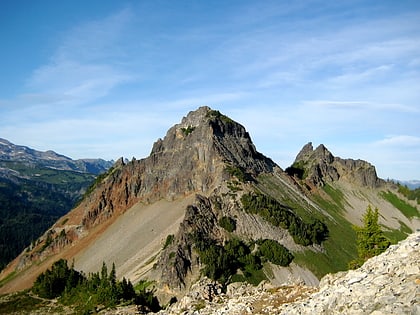
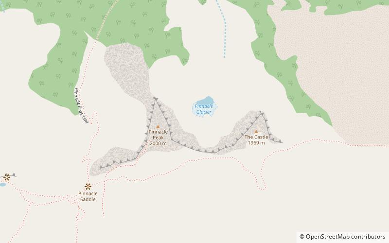
Nearby attractions include: Pinnacle Peak, Denman Peak, Lane Peak, Pinnacle Glacier.
Frequently Asked Questions (FAQ)
Which popular attractions are close to Plummer Peak?
Nearby attractions include Denman Peak, Mount Rainier National Park (9 min walk), Pinnacle Peak, Mount Rainier National Park (12 min walk), Pinnacle Glacier, Mount Rainier National Park (14 min walk), Lane Peak, Mount Rainier National Park (18 min walk).


