Douglass School, Bristol
Map
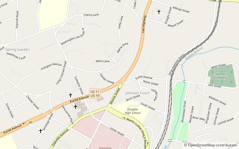
Map

Facts and practical information
Douglass School is a historic school building for African-American children in Bristol, Virginia. The original section was built in 1921, with additions and alterations from about 1929 and 1963. It is a two-story, three-bay brick building with a flat roof. ()
Coordinates: 36°36'33"N, 82°10'31"W
Address
Bristol
ContactAdd
Social media
Add
Day trips
Douglass School – popular in the area (distance from the attraction)
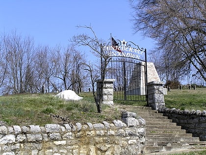
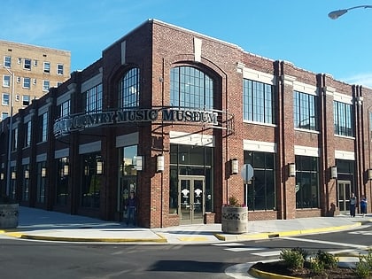
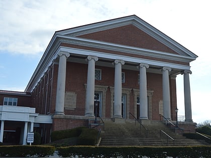
Nearby attractions include: East Hill Cemetery, Birthplace of Country Music Museum, First Baptist Church, Benjamin Walls Gallery.
Frequently Asked Questions (FAQ)
Which popular attractions are close to Douglass School?
Nearby attractions include Virginia Intermont College, Bristol (7 min walk), Virginia Middle School, Bristol (15 min walk).

