Trek Zone

Burns Park, North Little Rock

#5 among attractions in North Little Rock

Park, Relax in park
Burns Park location map
Map

Facts and practical information
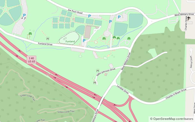
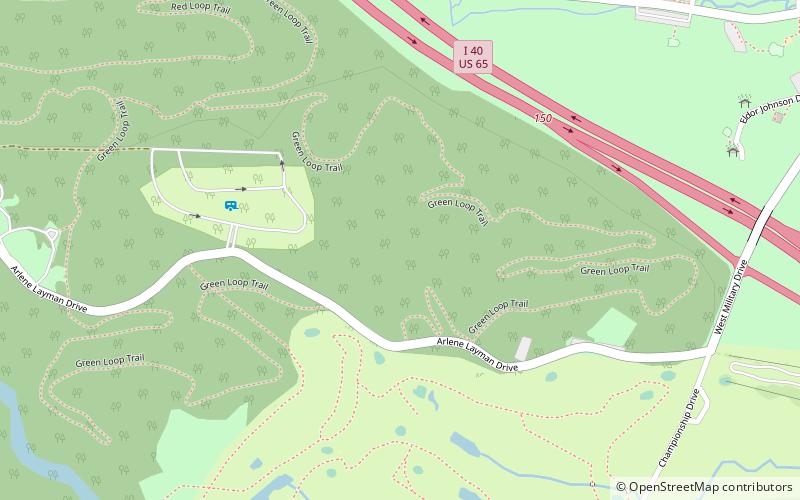
Elevation: 272 ft a.s.l.Coordinates: 34°47'49"N, 92°18'37"W
Address

I-40 at Military DriveNorth Little Rock United States

ContactAdd
Social media
Add
Day trips

Burns Park – popular in the area (distance from the attraction)

Nearby attractions include: Park Plaza Mall, War Memorial Stadium, Dickey-Stephens Park, Big Dam Bridge.

  • park plaza mall little rock3.5 miSW
  • war memorial stadium little rock3.6 miS
  • dickey stephens park north little rock3.6 miSE
  • big dam bridge little rock2.7 miW
  • wild river country north little rock location map
    2.3 miNW
  • crestview park north little rock2.8 miE
  • burns park golf course north little rock0.4 miSE
  • funland amusement park north little rock location map
    0.5 miNE
  • block realty baker house little rock2 miSW
  • kahn jennings house little rock2.5 miSW
  • bishop hiram a boaz house little rock2.2 miS

Where to next? Visit arkansas Arkansas region page or discover the top tourist attractions in United States.