James River Freeway, Springfield
Map
Facts and practical information
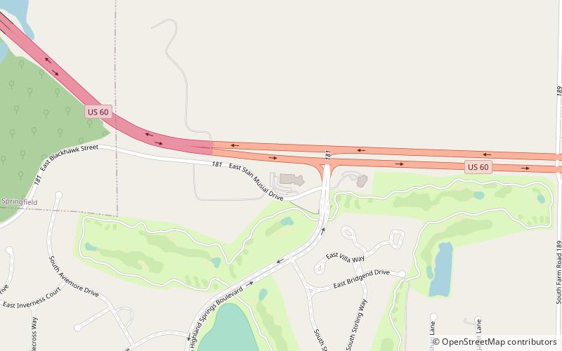
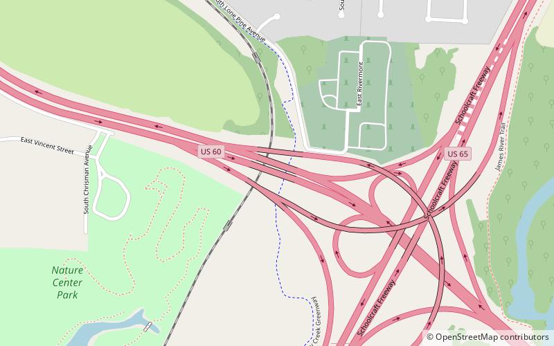
James River Freeway is a 14-mile-long freeway located largely on the south side of Springfield, Missouri. Its western terminus is at Interstate 44 north of Brookline and its eastern terminus is at U.S. Route 65 in southeastern Springfield. It is named for the James River, which passes near the highway at the freeway's eastern terminus. A total of four highways are routed on the highway: Route 360, US 60, US 160, Route 13, and Business US 65. ()
Coordinates: 37°7'46"N, 93°14'5"W
Address
KissickSpringfield
ContactAdd
Social media
Add
Day trips
James River Freeway – popular in the area (distance from the attraction)
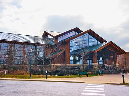
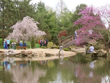
Nearby attractions include: Battlefield Mall, Wonders of Wildlife, Missouri Sports Hall of Fame, Mizumoto Japanese Stroll Garden.

