J&L Tunnel, Pittsburgh
Map
Facts and practical information
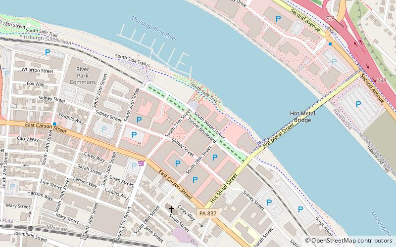
J&L Tunnel is a tunnel on CSX Transportation's Pittsburgh Subdivision, at the former location of Jones and Laughlin Steel Company. ()
Length: 1626 ftElevation: 745 ft a.s.l.Coordinates: 40°25'42"N, 79°57'53"W
Address
South Side (Southside Flats)Pittsburgh
ContactAdd
Social media
Add
Getting there by public transportation
Public transportation stops near this location
- Bus
 Bus
Bus
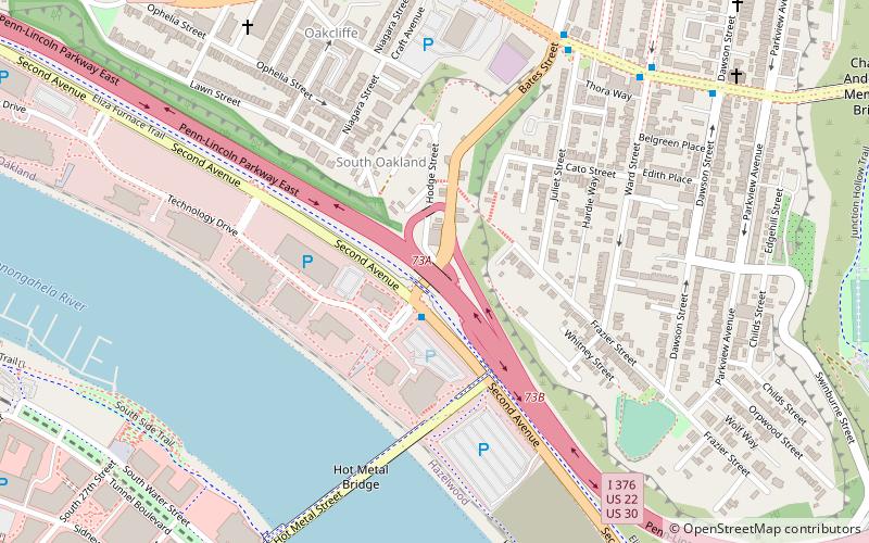
- Calculate routeFifth Avenue at Craft Avenue 17 min walk
- Calculate routeAtwood Station 25 min walk
Day trips


Frequently Asked Questions (FAQ)
Which popular attractions are close to J&L Tunnel?
Nearby attractions include South Shore Riverfront Park, Pittsburgh (2 min walk), Hot Metal Bridge, Pittsburgh (6 min walk), Samuel F. B. Morse School, Pittsburgh (9 min walk), Shrine of the Blessed Mother, Pittsburgh (10 min walk).
How to get to J&L Tunnel by public transport?
The nearest stations to J&L Tunnel:
Bus
Bus
- Fifth Avenue at Craft Avenue • Lines: 71B (17 min walk)
- Atwood Station • Lines: 71B (25 min walk)