Ironjaw Lake, Grand Island National Recreation Area
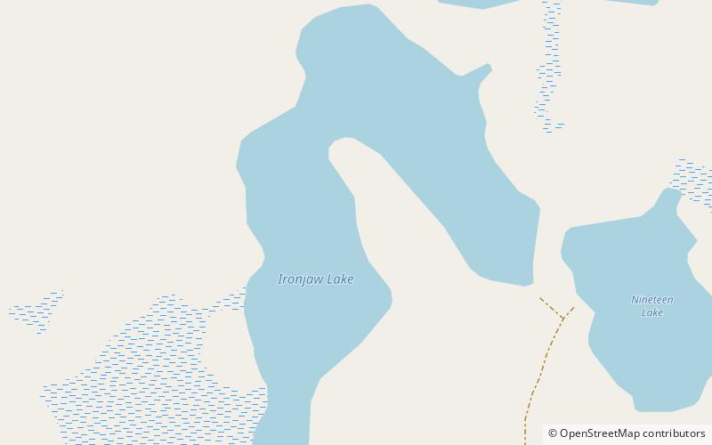
Map
Facts and practical information
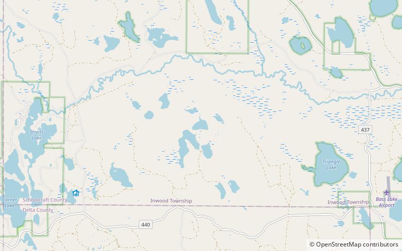
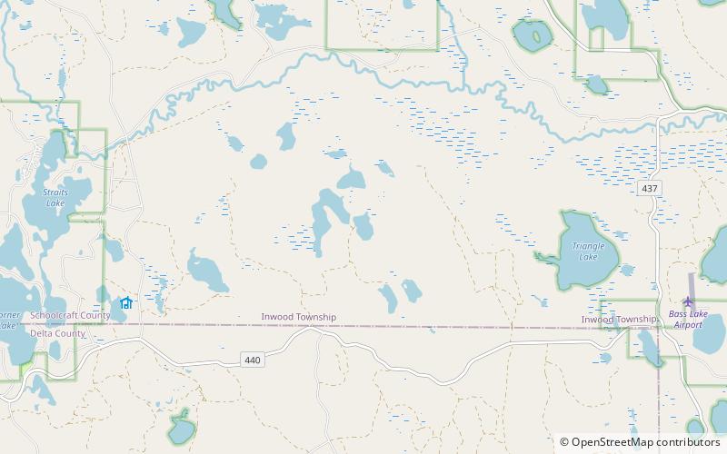
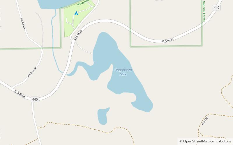
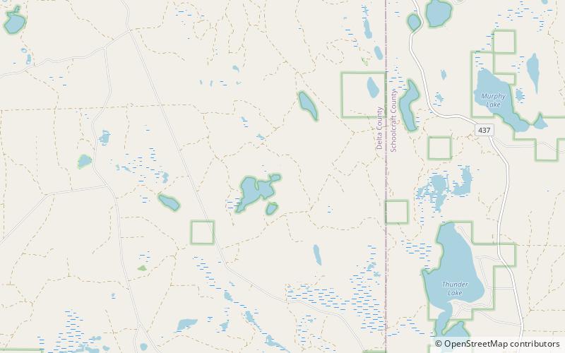
Ironjaw Lake is a 51-acre lake that is located in south-western Schoolcraft County, Michigan in the Hiawatha National Forest. It is just east of the county line with Alger and just north of the county line with Delta County. Other nearby lakes include Hugaboom Lake, Mowe Lake, Blue Lake, Corner-Straits Chain of lakes, Nineteen Lake, Verdant Lake, and Round Lake. ()
Elevation: 781 ft a.s.l.Coordinates: 46°10'22"N, 86°33'9"W
Address
Grand Island National Recreation Area
ContactAdd
Social media
Add
Day trips
Ironjaw Lake – popular in the area (distance from the attraction)
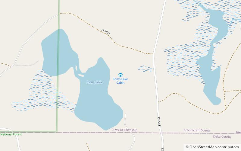
Nearby attractions include: Toms Lake, Verdant Lake, Lake Nineteen, Big Island Lake Wilderness.
Frequently Asked Questions (FAQ)
Which popular attractions are close to Ironjaw Lake?
Nearby attractions include Lake Nineteen, Grand Island National Recreation Area (9 min walk), Verdant Lake, Grand Island National Recreation Area (11 min walk).
