Vancouver Waterfront Park, Vancouver
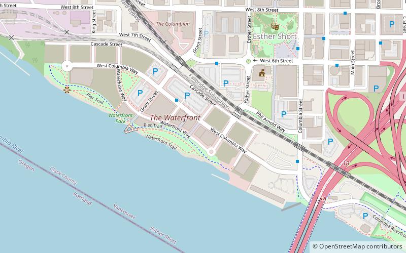
Map

Map

Facts and practical information
Vancouver Waterfront Park is a 7.3-acre waterfront park in Vancouver, Washington, in the United States. ()
Elevation: 30 ft a.s.l.Coordinates: 45°37'26"N, 122°40'41"W
Address
Downtown Vancouver (Esther Short)Vancouver
ContactAdd
Social media
Add
Day trips
Vancouver Waterfront Park – popular in the area (distance from the attraction)
Nearby attractions include: Fort Vancouver National Historic Site, Fort Vancouver, Portland Expo Center, Jantzen Beach Center.
Frequently Asked Questions (FAQ)
Which popular attractions are close to Vancouver Waterfront Park?
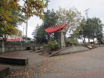
Nearby attractions include Grant Street Pier, Vancouver (4 min walk), Veterans of Foreign Wars Memorial Plaza, Vancouver (5 min walk), Salmon Run Bell Tower, Vancouver (6 min walk), Esther Short Park, Vancouver (7 min walk).
How to get to Vancouver Waterfront Park by public transport?
The nearest stations to Vancouver Waterfront Park:
Bus
Train
Bus
- Columbia Way & Parkway Place • Lines: 71 (2 min walk)
- West 6th Street & Esther Street • Lines: 71 (4 min walk)
Train
- Vancouver (14 min walk)

 SkyTrain


