Miller Woods, Gary
Map

Map

Facts and practical information
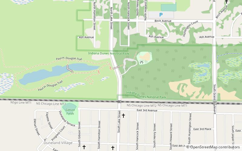
Miller Woods is the far western unit of Indiana Dunes National Park in the lakefront community of Miller Beach, Indiana. Miller Woods is home to the federally endangered Karner Blue butterfly and the federally threatened Pitcher's thistle. Miller Woods is also the only part of the National Park that also adjoins the Grand Calumet River. ()
Coordinates: 41°36'22"N, 87°16'4"W
Address
Northeast Gary (Miller)Gary
ContactAdd
Social media
Add
Day trips
Miller Woods – popular in the area (distance from the attraction)
Nearby attractions include: Marquette Park, Miller Town Hall, Gary Bathing Beach Aquatorium, Aetna.
Frequently Asked Questions (FAQ)
Which popular attractions are close to Miller Woods?
Nearby attractions include Miller Town Hall, Gary (13 min walk), Miller Beach, Gary (13 min walk).
How to get to Miller Woods by public transport?
The nearest stations to Miller Woods:
Bus
Train
Bus
- Lake & Hemlock • Lines: L2 (14 min walk)
- 7th Avenue & Lake • Lines: L2 (14 min walk)
Train
- Miller (15 min walk)


