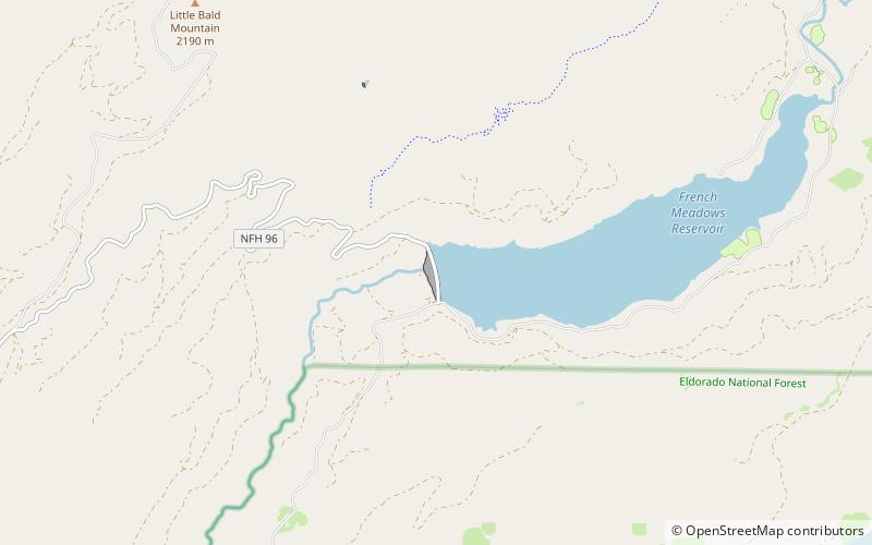
French Meadows Reservoir, Tahoe National Forest
Map

Map

Facts and practical information
French Meadows Reservoir is a manmade lake 36 miles northeast of Foresthill, California, United States on the Middle Fork of the American River. The reservoir is 2.9 miles long, 0.6-mile wide, with 7.3 miles of shoreline. ()
Length: 2.9 miWidth: 3168 ftElevation: 5187 ft a.s.l.Coordinates: 39°6'41"N, 120°28'12"W
Address
Tahoe National Forest
ContactAdd
Social media
Add
Day trips
French Meadows Reservoir – popular in the area (distance from the attraction)
Nearby attractions include: Hell Hole Reservoir.

