La Cumbre Peak, Santa Barbara
Map
Map

Facts and practical information
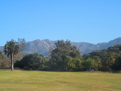
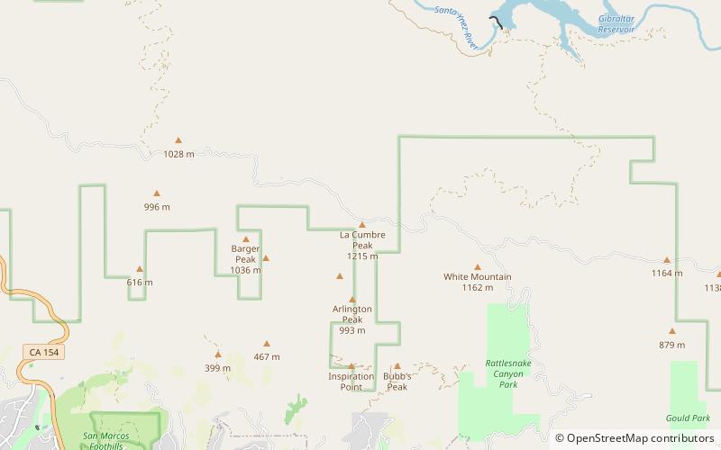
La Cumbre Peak is a 3,997-foot peak in the Santa Ynez Mountains north of Santa Barbara, California and located within the Los Padres National Forest. Composed of boulders and slabs of the Matilija Sandstone amid groves of pine trees, it is the highest summit in proximity to the city. Adjacent to La Cumbre is Arlington Peak and Cathedral Peak. Other peaks within the Santa Ynez Range include Santa Ynez Peak, 15 miles to the west, and Divide Peak, 15 miles to the east. ()
Elevation: 3997 ftProminence: 1010 ftCoordinates: 34°29'40"N, 119°42'47"W
Address
Camino CieloSanta Barbara 93105
ContactAdd
Social media
Add
Day trips
La Cumbre Peak – popular in the area (distance from the attraction)
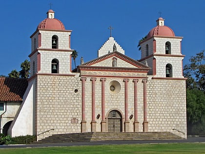
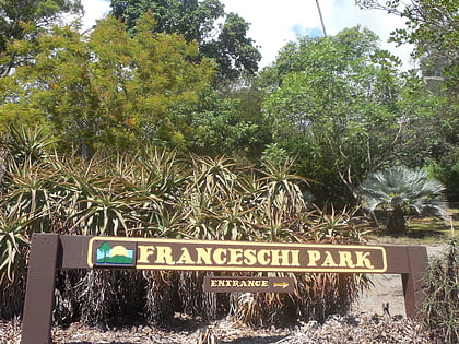
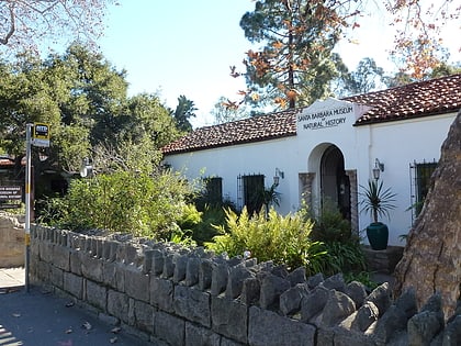
Nearby attractions include: Mission Santa Barbara, Santa Barbara Bowl, Franceschi Park, Mission Park.

