Lamokin Tower, Chester

Map
Facts and practical information
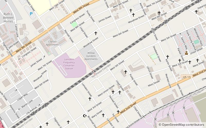
Lamokin Tower was a closed interlocking tower of the Pennsylvania Railroad in Chester, Pennsylvania. It was located along the northwest corner of the Lloyd Street Bridge over the Amtrak Northeast Corridor and SEPTA Wilmington/Newark Line. The tower suffered from serious neglect after its closure and was demolished in 2017 along with the adjacent Lloyd Street Bridge. ()
Coordinates: 39°50'36"N, 75°22'26"W
Address
Chester
ContactAdd
Social media
Add
Day trips
Lamokin Tower – popular in the area (distance from the attraction)
Nearby attractions include: Subaru Park, Upland Baptist Church, Commodore Barry Bridge, Caleb Pusey House.
Frequently Asked Questions (FAQ)
Which popular attractions are close to Lamokin Tower?
Nearby attractions include William Penn Landing Site, Chester (19 min walk), Commodore Barry Bridge, Chester (19 min walk), Subaru Park, Chester (20 min walk), Upland Baptist Church, Chester (22 min walk).
How to get to Lamokin Tower by public transport?
The nearest stations to Lamokin Tower:
Train
Train
- Chester Transportation Center (22 min walk)
- Highland Avenue (31 min walk)


