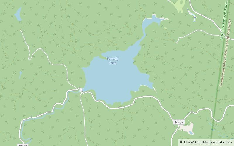
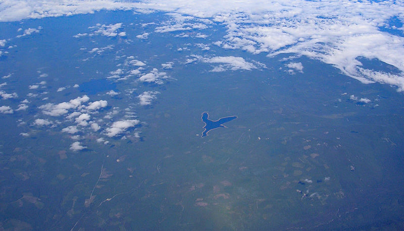
Timothy Lake, Mount Hood National Forest

Gallery (2)
Map
Map
Gallery
Facts and practical information
Timothy Lake is a lake about 50 miles southeast of Portland, Oregon, United States. It is in proximity to Clear Lake and an impoundment of the Oak Grove Fork Clackamas River. ()
Maximum depth: 80 ftElevation: 3228 ft a.s.l.Coordinates: 45°7'16"N, 121°47'10"W
Day trips


