Volcano
Map

Map

Facts and practical information
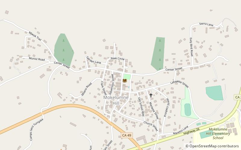
Volcano is a census-designated place in Amador County, California. It lies at an elevation of 2070 feet. The population was 115 at the 2010 census. It is located at 38°26′35″N 120°37′51″W, just north of Pine Grove. The town is registered as a California Historical Landmark. The community is in ZIP code 95689 and area code 209. ()
Location
California
ContactAdd
Social media
Add
Day trips
Volcano – popular in the area (distance from the attraction)
Nearby attractions include: Kennedy Mine, Saint Sava Serbian Orthodox Church, Jackson Downtown Historic District, William J. Paugh House.


