Trabuco Peak, Cleveland National Forest
Map

Gallery

Facts and practical information
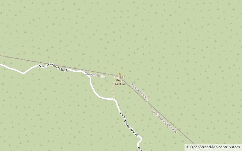
Trabuco Peak is a 4,607-foot summit in the Santa Ana Mountains on the border of Orange and Riverside Counties, California, about halfway between Rancho Santa Margarita and Lake Elsinore. The mountain sits on the divide between Arroyo Trabuco on the west and the Temescal Creek valley on the east. Situated in the Cleveland National Forest, it is the highest summit in the Santa Anas south of Santiago Peak. ()
Elevation: 4607 ftProminence: 817 ftCoordinates: 33°42'8"N, 117°28'30"W
Address
Cleveland National Forest
ContactAdd
Social media
Add
Day trips
Trabuco Peak – popular in the area (distance from the attraction)
Nearby attractions include: Walker Canyon, Santiago Peak, Los Pinos Peak, Modjeska Peak.


