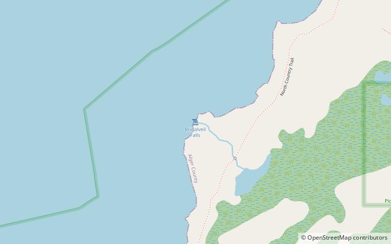
Bridalveil Falls, Pictured Rocks National Lakeshore
Map

Map

Facts and practical information
Bridalveil Falls is a seasonal waterfall located at Pictured Rocks National Lakeshore, Michigan. Directions: From H-58 from Munising go east 4.5 miles to Miners Castle Road, then 5 miles to the Castle. You can see this from afar from here. You can also see it from the Lake in a boat, or hiking on the Lakeshore Trail ()
Height: 140 ftCoordinates: 46°30'32"N, 86°31'26"W
Day trips
Bridalveil Falls – popular in the area (distance from the attraction)
Nearby attractions include: Miners Falls, Grand Island East Channel Lighthouse.


