Fort Stephenson, Fremont

Map
Facts and practical information
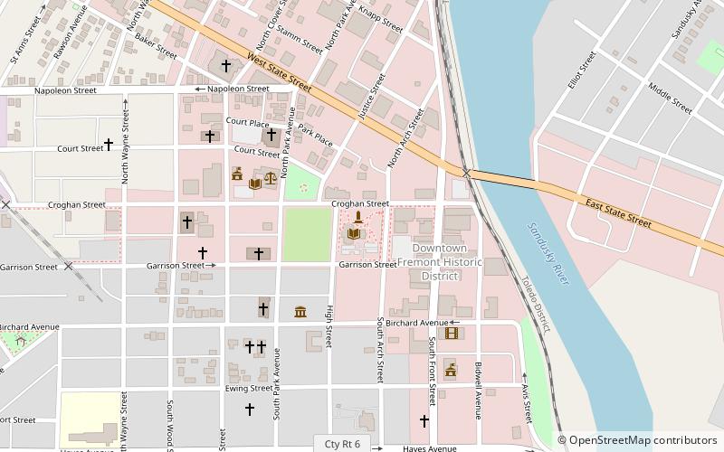
Fort Stephenson was built in the early 1800s on the west side of the lower Sandusky River. It was the site in 1813 of an American victory in the Battle of Fort Stephenson during the War of 1812. ()
Coordinates: 41°20'46"N, 83°6'55"W
Address
Fremont
ContactAdd
Social media
Add
Day trips
Fort Stephenson – popular in the area (distance from the attraction)
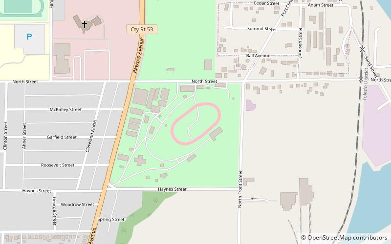
Nearby attractions include: Fremont Speedway, Hayes Presidential Center, Spiegel Grove, St. Paul's Episcopal Church.
Frequently Asked Questions (FAQ)
Which popular attractions are close to Fort Stephenson?
Nearby attractions include Birchard Public Library Fremont, Fremont (1 min walk), Sandusky County Courthouse, Fremont (4 min walk), St. Paul's Episcopal Church, Fremont (4 min walk), Sandusky County Jail and Sheriff's House, Fremont (5 min walk).


