Teakettle Experimental Forest, Sierra National Forest

Map
Facts and practical information
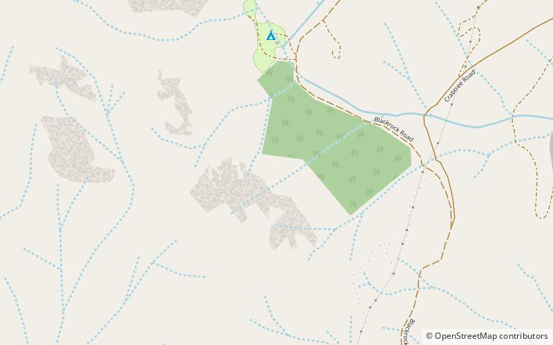
The Teakettle Experimental Forest is a part of the Sierra National Forest that is set aside for research into forest ecology. The forest is located 80 kilometres east of Fresno, California, between Yosemite and Kings Canyon National Parks. The area is old-growth forest at 2,000 to 2,800 metres elevation and consists primarily of mixed-conifer and red fir forest common on the western slope of the Sierra Nevada. ()
Coordinates: 36°58'0"N, 119°1'1"W
Day trips
Teakettle Experimental Forest – popular in the area (distance from the attraction)
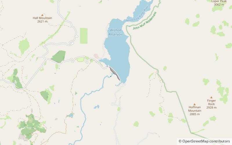
Nearby attractions include: Wishon Dam.
