Mary Elizabeth Hospital, Raleigh

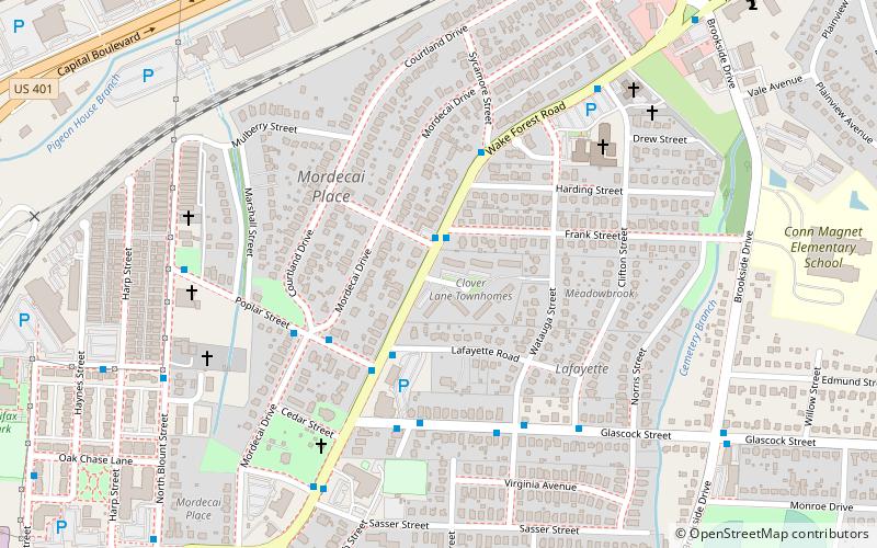
Map
Facts and practical information
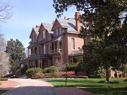
Mary Elizabeth Hospital, located on the corner of Wake Forest Road and Glascock Street in Raleigh, North Carolina, was designed by Dr. Harold Glascock and built in 1920. The building still exists on the corner, and is a Raleigh Historic Landmark and is listed on the National Register of Historic Places. ()
Built: 1920 (106 years ago)Coordinates: 35°47'44"N, 78°37'49"W
Day trips
Mary Elizabeth Hospital – popular in the area (distance from the attraction)
Nearby attractions include: Mordecai House, North Carolina Executive Mansion, Historic Oakwood Cemetery, Oakwood Dog Park.
Frequently Asked Questions (FAQ)
Which popular attractions are close to Mary Elizabeth Hospital?
Nearby attractions include Norburn Terrace, Raleigh (4 min walk), Mordecai House, Raleigh (7 min walk), Mordecai Place Historic District, Raleigh (10 min walk), Oakwood Dog Park, Raleigh (13 min walk).
How to get to Mary Elizabeth Hospital by public transport?
The nearest stations to Mary Elizabeth Hospital:
Bus
Bus
- Wake Forest Road & Chestnut Street • Lines: 1 (2 min walk)


