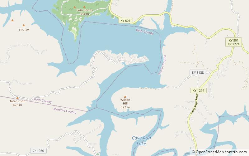
Cave Run Lake, Daniel Boone National Forest
Map

Map

Facts and practical information
Cave Run Lake, located south of Morehead, Kentucky, USA along Kentucky Route 801, is an 8,270-acre reservoir built by the U.S. Army Corps of Engineers. The 148 ft, half-mile dam construction began in 1965 and was completed in 1973. Cave Run Lake is in the northern part of the Daniel Boone National Forest. Cave Run Lake provides flood protection to the lower Licking River valley, supplies water to the area's communities, improves the Licking River's water flow conditions, and offers a habitat for various species of fish and wildlife. It is in Rowan, Morgan, Menifee, and Bath counties. ()
Elevation: 722 ft a.s.l.Coordinates: 38°3'49"N, 83°29'0"W
Address
Daniel Boone National Forest
ContactAdd
Social media
Add
